V-shaped Valley in Indian Himalayas (India)


V-shaped Valley in Indian Himalayas (India)
dhauliganga river
dhauliganga valley
mountain river
mountains
raini chak lata
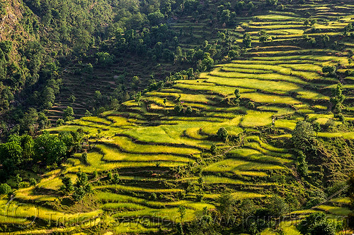
v-shaped valley
village
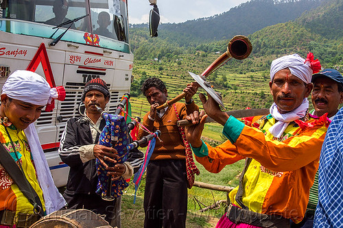
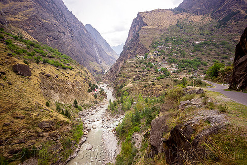
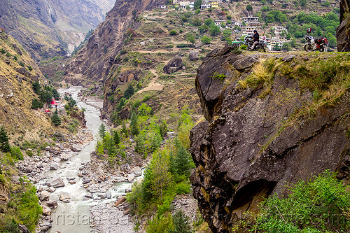
This is the small village of Raini Chak Lata (India)
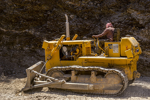
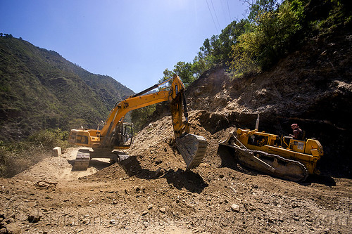
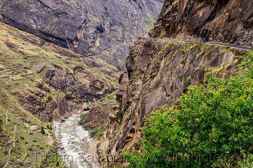
The mountain road along the rugged Dhauliganga Valley is not for the faint of heart. The road is often carved off vertical cliffs. Past this village, the road continue up the valley along a very high cliff, on the right side of the steep V-shape valley that can be seen in the background.
This is upstream from Joshimath. The Dhauliganga river is one of the headstreams of the Ganges river.
Photo taken on
April 20, 2013
Nanda Devi National Park, National Highway 58, Govind Ghat, Uttarakhand 246443, India
GPS coordinates: 30.488538,79.689327 - Download
KML file for Google Earth (and other mapping apps)
Selected album:
Selected album: