Aerial View of Kumbh Mela 2013 Winding Down (India)


Aerial View of Kumbh Mela 2013 Winding Down (India)
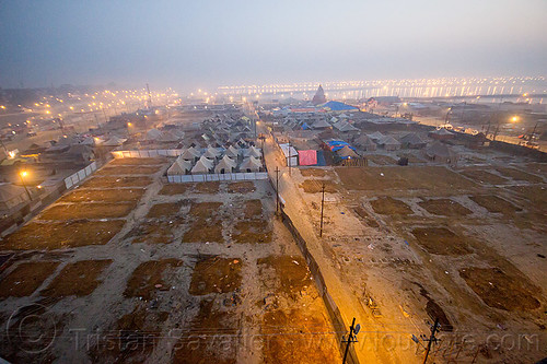
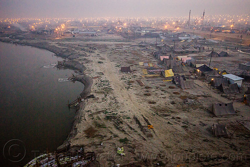
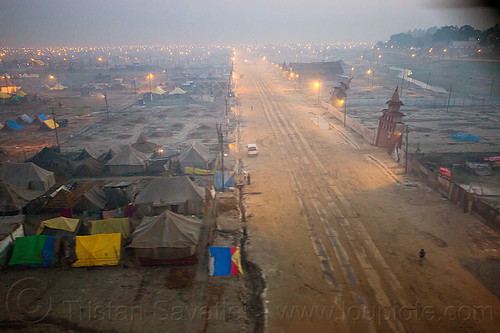
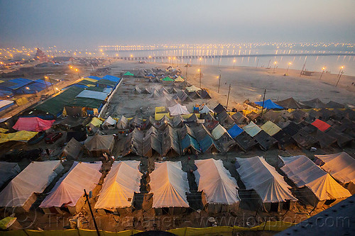
This aerial photo, taken at dawn, shows the Kumbh Mela ground toward the end of the event.
The brown rectangular patches on the ground is hay that was spread inside tents, and on which the people would sleep (i.e. equivalent to a ground tarp or foam mattress). The tents have then been dismantled, but the hay remains, and since it is natural, it will be left on the ground.
Most of the Hindu pilgrims have left. Camps and Ashrams are being taken down and infrastructure is being dismantled. It looks like a ghost town, and a few weeks later, nothing will remain. A couple of months later, the Ganges river will rise with the monsoon rains and this floodplain will be under about 10 feet of water.
All the street lights that can be seen in the far back are part of the Kumbh Mela "temporary city" built in the flood plain of the Ganges river, near Allahabad.
Kumbh Mela occupies about 56 Square Kilometers (22 Square Miles) of sandy ground in the Ganges floodplain. The "permanent" population is 5 to 10 Million Hindu devotees housed in thousands of temporary Ashrams and tent camps,
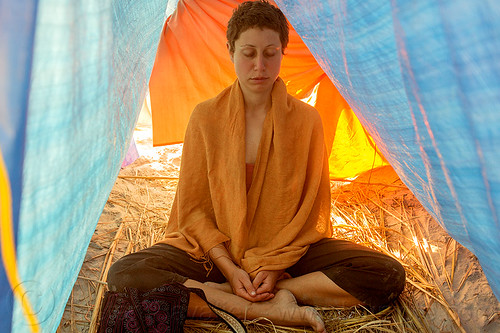
Kumbh Mela is the largest festival on Earth, taking place once every 12 years, with more than 50 million Hindu pilgrims gathering to pray and bathe in the holy Ganges river.
For more photos and info about the Kumbh Mela festival, read the album description.