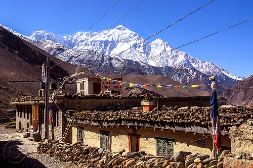
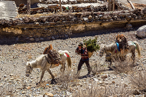
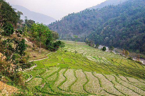
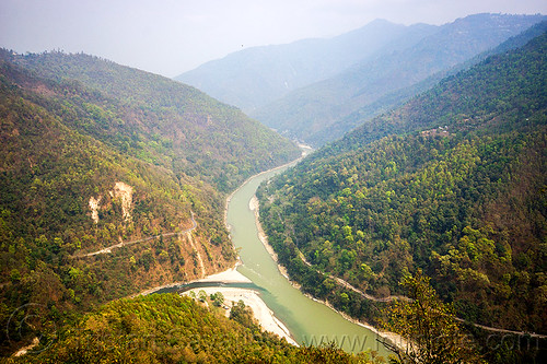
Kagbeni Village and the Kali Gandaki River Valley - Lower Mustang (Nepal)


Kagbeni Village and the Kali Gandaki River Valley - Lower Mustang (Nepal)
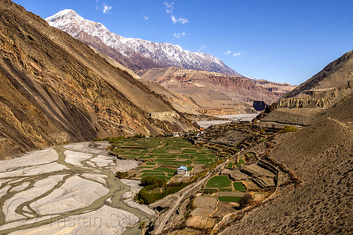
View of the Kagbeni Village and the Kali Gandaki River Valley (Nepal)
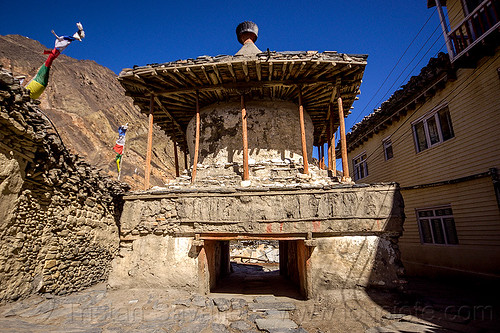
View my other photos of Kagbeni.
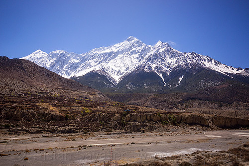
The mountain in the back is the Jakriojagga Lek (Elevation: 6402 m / 21003 ft).
This is probably one of the most remote region I visited. It takes 2-3 days to reach this place by motorbike, from Pokhara.
The valley upstream from Kagbeni (in the back, behind the village on this photo) is part of the Upper Mustang Restricted Area, and special permits and guides are required to continue North towards the old royal city of Lo Mustang (see this photo of the sign). Those permits are rather expensive ($500 for 10 days), and they require that you hire a local guide. This was unfortunately out of my budget.
I wanted to continue the road up to Muktinath (no special permit required), but I was sick, quite tired, and the road from Kagbeni to Muktinath is really hard (very steep with a lot of loose gravel), so we stopped at Kagbeni.
For more info about Kagbeni, read en.wikipedia.org/wiki/Kagbeni,_Mustang.