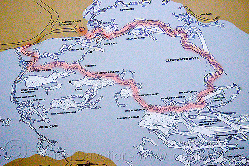
Clearwater Connection Cave Map - Caving in Mulu (Borneo)


Clearwater Connection Cave Map - Caving in Mulu (Borneo)
This is a cave map with the approximate path of the "Clearwater Connection adventure caving tour" in Gunung Mulu National Park (Borneo)
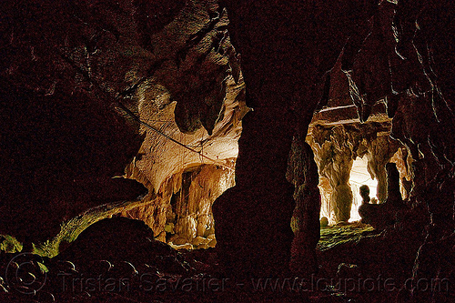
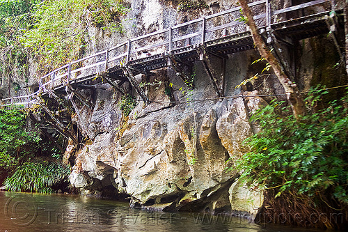
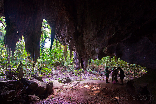
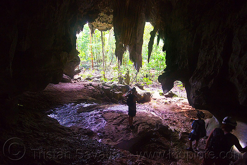
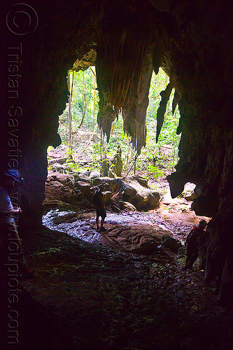
The Clearwater Connection circuit is about 8 Km long and 6 hours of walking, scrambling, crawling and squeezing. No rappelling or technical climbing is needed, but knotted ropes are used at numerous places to pass difficult obstacles. The tour enters by Wind Cave and exits by the Clearwater River Cave. This is one of the most interesting caving tour that can be done by park visitors in Mulu.
The Clearwater System is believed to be the largest interconnected cave system in the world by volume and the 9th longest cave in the world at 189 Km (as of 2011).
For more photos, information and cave map, view my Clearwater cave photo series.