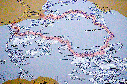
Map of the Clearwater Cave System - Mulu (Borneo)


Map of the Clearwater Cave System - Mulu (Borneo)
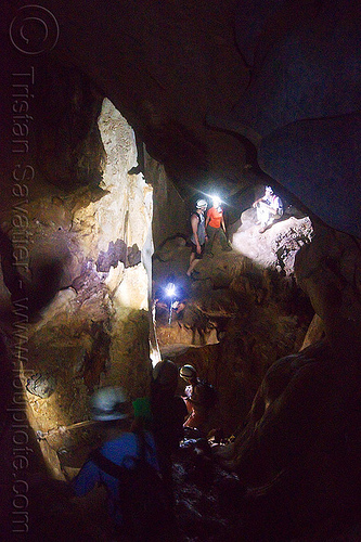
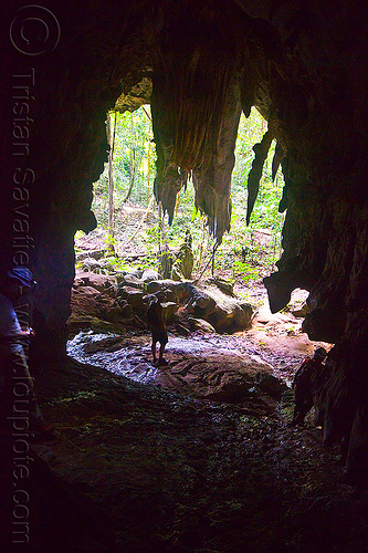
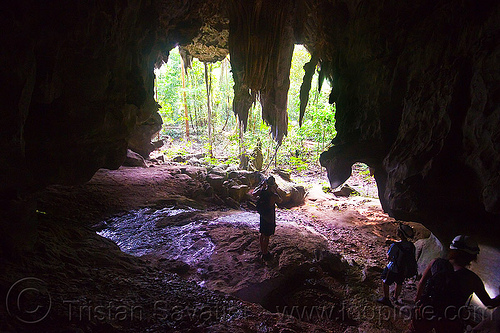
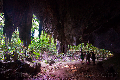
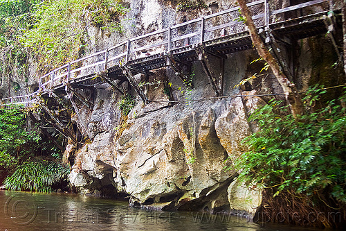
This is a (partial) map of the Clearwater Cave System in Gunung Mulu National Park (Borneo)
View the high-resolution map of the Clearwater cave system here.
The exploration of this cave system is ongoing and new sections are discovered every year, so this map is partial, as of 2008 or so. This is a 2009 map here that shows more passages.
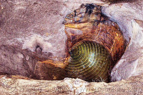
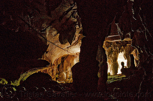
This map includes Racer Cave, the Clearwater Connection circuit, Lang Cave, Wind Cave, Clearwater Cave. It does not include Deer Cave, which is located in a different area of the Park.
The Clearwater System is believed to be the largest interconnected cave system in the world by volume and the 9th longest cave in the world at 189 Km (as of 2011).
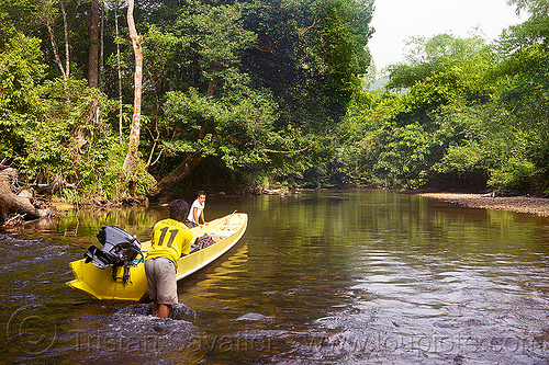
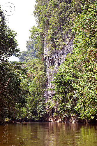
For more photos, information and other cave maps, view my Clearwater cave photo series.

