Tehri Dam (India)


Tehri Dam (India)
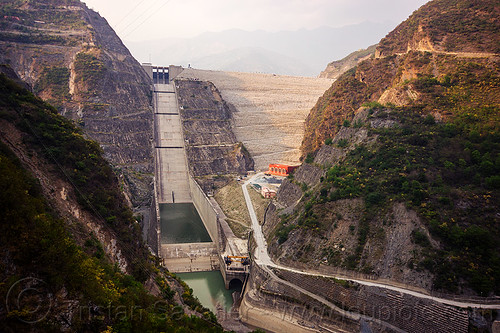
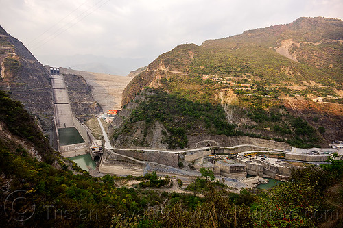
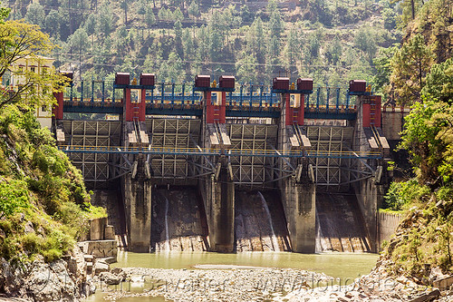
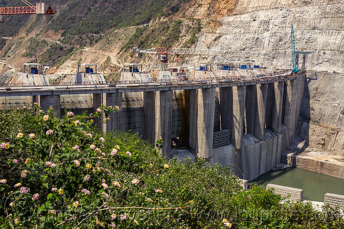
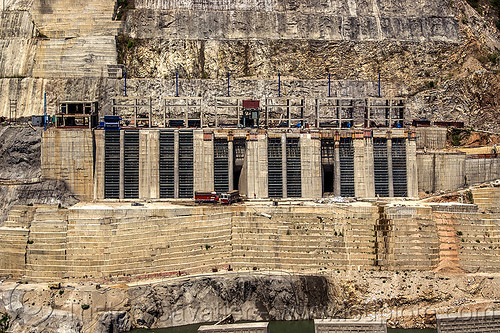
Downstream side of the Tehri Dam in the Bhagirathi Valley, one of the headstreams of the Ganges river (India)
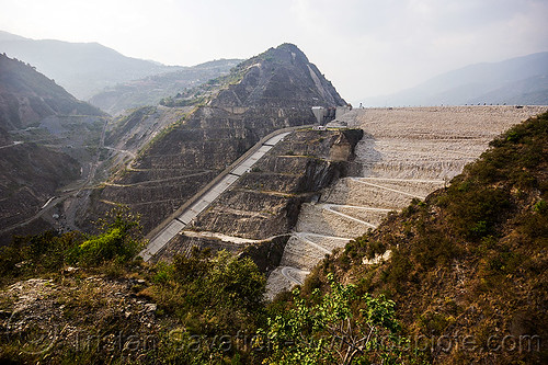
On the left, you can see the overflow spillway.
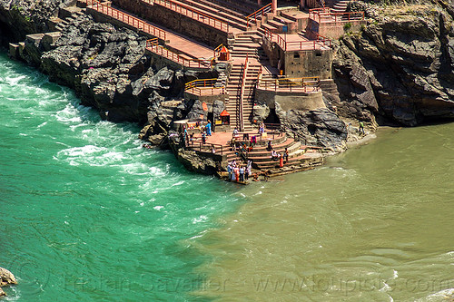
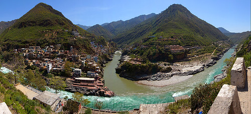
The Tehri Dam was (and still is) a very controversial project, as it flooded a valley resulting in the destruction of numerous villages and a town (Tehri), and forced the relocation of about 100,000 people.
The Tehri Dam is the tallest dam in India and one of the tallest in the world. The dam is a 260.5 metres (855 ft) high rock and earth-fill embankment dam. The dam creates a reservoir with a surface area of 52 square kilometres (20 sq mi).
For more photos and info about the controversial Tehri Dam Hydro Power project, go to the Tehri Dam & Lake photo series.
Photo taken on
April 24, 2013
Tehri Road, Uttarakhand 249124, India
GPS coordinates: 30.368130,78.475447 - Download
KML file for Google Earth (and other mapping apps)
Selected album:
Selected album:
Selected album:
Selected album: