Tehri Dam (India)


Tehri Dam (India)
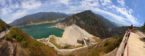
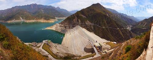
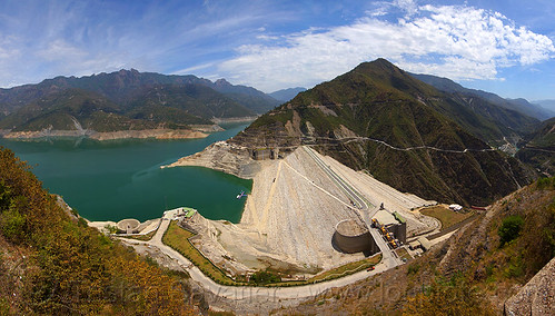
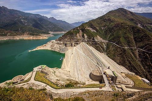
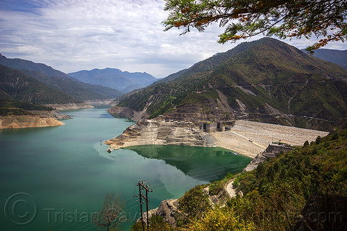
The Tehri dam is the highest dam in India and one of the highest in the world.
It is hard to imagine that right there, on this photo, deep under the lake, just at the bottom on the dam, there is a submerged city (Tehri, now called "Old Tehri") that was the provincial capital, with a population of about 25,000. The people from Old Tehri have been relocated to New Tehri, a planned city built on the mountain above the dam.
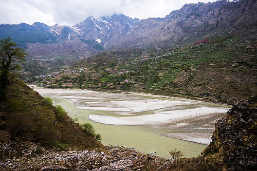
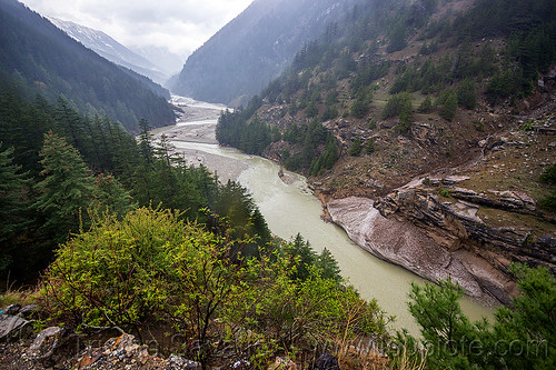
The Tehri Reservoir (the lake on the left) fills-up the Bhagirathi valley, one of the headstreams of the Ganges.
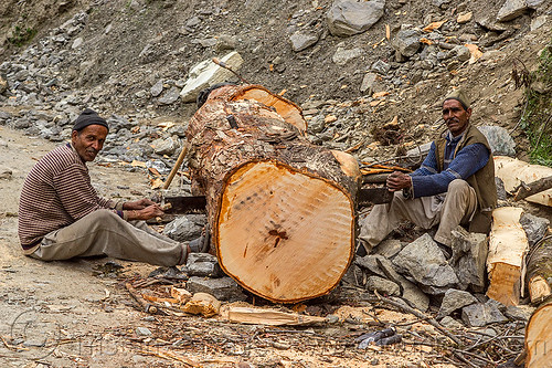
The Tehri Dam was (and still is) a very controversial project, as it flooded two valleys resulting in the destruction of numerous villages and a town (Tehri), all now submerged, and forced the relocation of about 100,000 people.
For more photos and info about the controversial Tehri Hydro Power project, go to the Tehri Dam & Lake photo series.