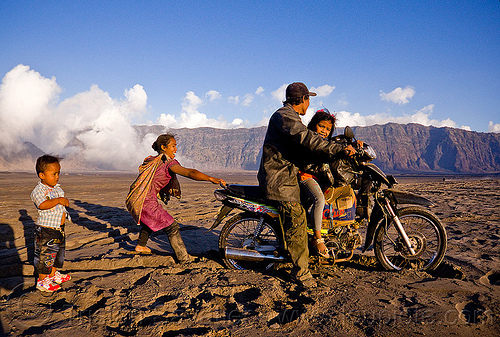
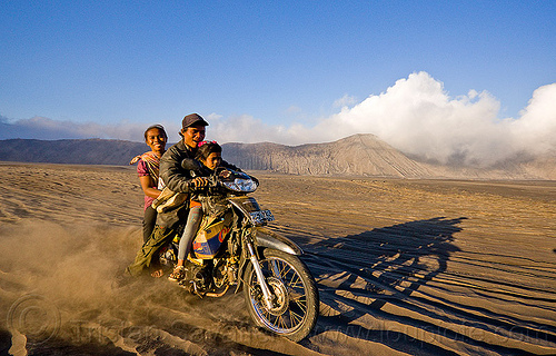
Cemoro Lawang - Tengger Caldera


Cemoro Lawang - Tengger Caldera
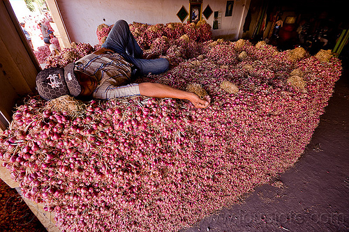
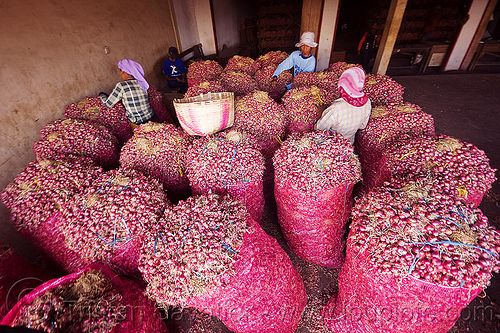
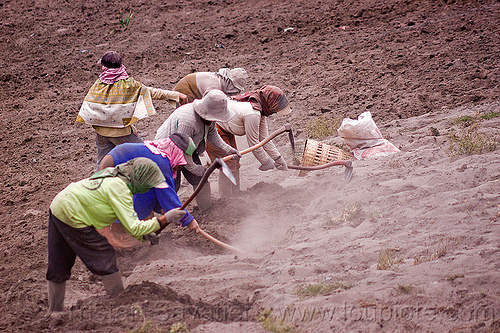
agriculture
bromo volcano
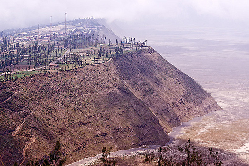
cemoro lawang
cliff
farming
fields
gunung bromo
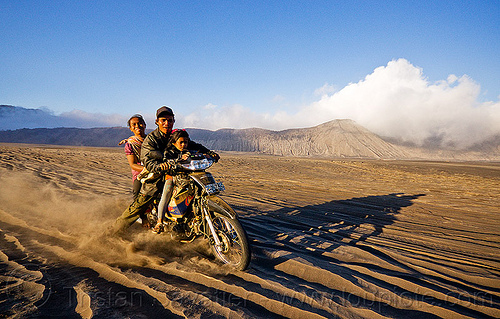
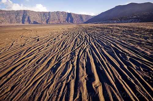
lautan pasir
mountains
tengger caldera
volcanic ash
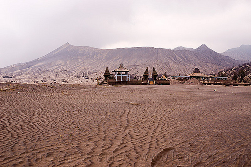
The village of Cemoro Lawang sits at the edge of the Tengger caldera (the collapsed crater of a very old super volcano).
At the bottom of the cliff, the flat and dusty Tengger caldera is called Lautan Pasir (Sea of Sand). The entire region is covered with thin volcanic ash from recent eruptions of the Bromo Volcano.
Bromo is one of the small volcanic cones in the Tengger caldera, and it can be reached in a couple of hours walk from Cemoro Lawang.
For more information about Bromo Volcano, read en.wikipedia.org/wiki/Mount_Bromo.
For more information about the Bromo Tengger Semeru National Park, read en.wikipedia.org/wiki/Bromo_Tengger_Semeru_National_Park
Photo taken on
September 13, 2011
Jalan Cemorolawang - Sukapura, Sukapura, Indonesia
GPS coordinates: -7.911239,112.953377 - Download
KML file for Google Earth (and other mapping apps)
Selected album:

Selected album: