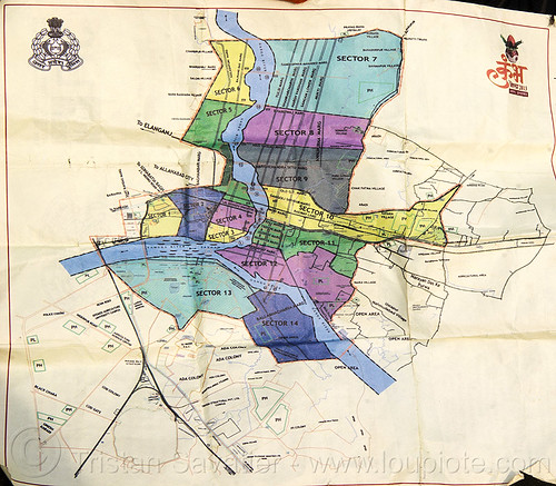
Map of Kumbh Mela 2013 (India)


Map of Kumbh Mela 2013 (India)
Map of the Kumbh Mela 2013 temporary city.
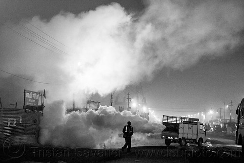
For 3 months every 12 years, Kumbh Mela occupies about 56 Square Kilometers (22 Square Miles) of sandy ground in the Ganges river floodplain. The "permanent" population of this temporary city is 5 to 10 Million pilgrims housed in thousands of temporary Ashrams and tent camps, with an estimated more than 50 Million coming for the ritual baths during the event.
The Sangam, the spiritual center of Kumbh Mela, is the confluence of the Yamuna and the Ganges river, and this is the holiest place to take the ritual baths during the Kumbh Mela.
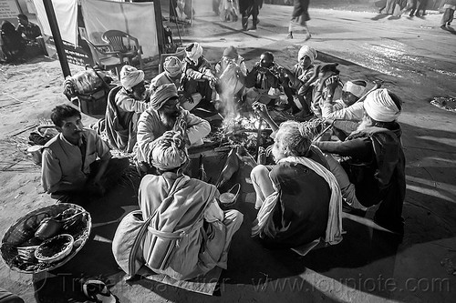
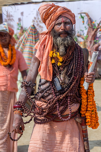
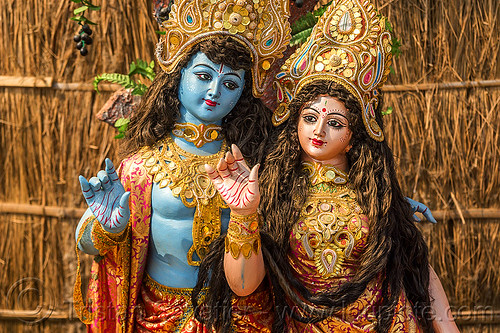
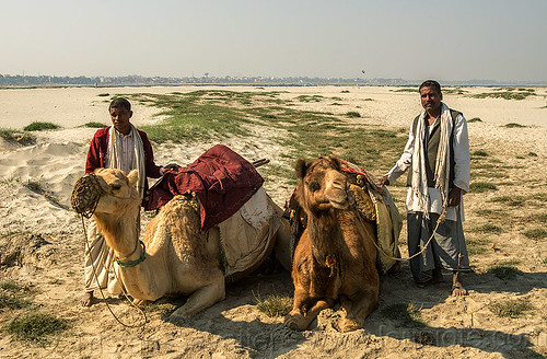
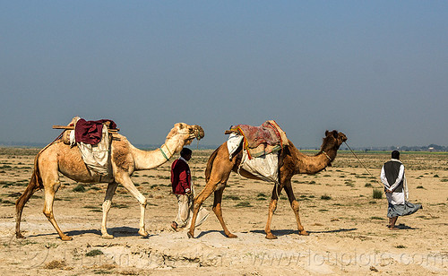
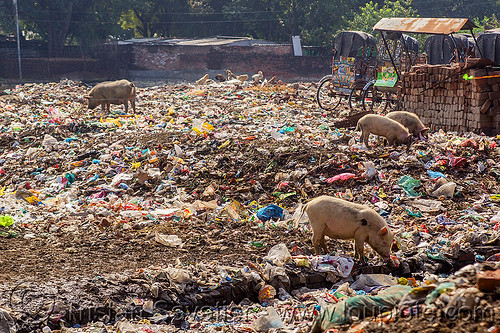
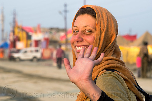
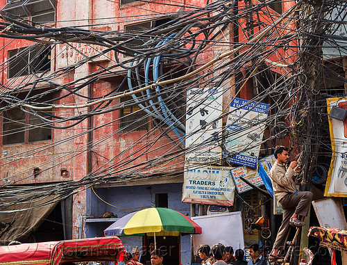
Photo taken at the Kumbh Mela 2013 festival near Allahabad (India)
Kumbh Mela is the largest festival on Earth, taking place once every 12 years, with more than 50 million Hindu pilgrims gathering to pray and bathe in the holy Ganges river.
For more photos and info about the Kumbh Mela festival, read the album description.